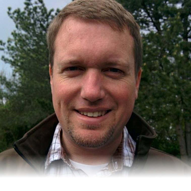
Hello. My name is Justin.

I'm a geologist. A map maker. A data analyzer. A remote pilot. A tinkerer. A creator. A devotee of the natural world. I'm an Oregon native who has explored the geology of every corner of the state. I'm a technology enthusiast who is constantly exploring how the cutting edge can increase our scientific understanding.

I am a person who thrives on sharing knowledge. Who wants to learn and pass that learning on to others. Who believes that information is capital and should be available to all who seek it.

I'm a technologist. An earth scientist who is excited about the ways that innovative technology can be used to expand our understanding and knowledge.
I've Worked on Some Exciting Projects


Studying the Silt Creek Landslide

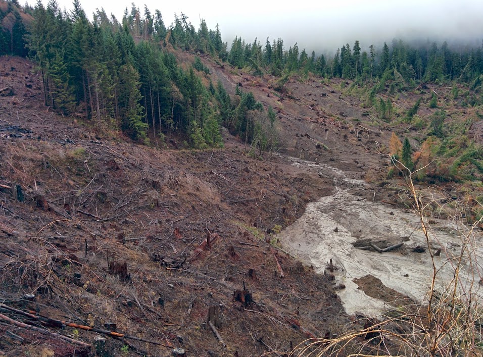
My master's thesis at Portland State University gave me the opportunity to study a spectacular landslide complex in the Cascade Mountains near Mill City, Oregon. In June of 2014, an internal scarp at this location failed and lower portions of the landslide reactivated and began moving downslope. I used terrestrial lidar scans, spaced at four-month intervals along six locations down the eastern slide flank, to monitor the slide deformation. As a result, I captured the slide behavior as it returned to stability and showed that in this instance, the overall pattern of movement was separate from local precipitation and most likely due to the applied load from the internal scarp debris.


Searching for Co-Seismic Landslides

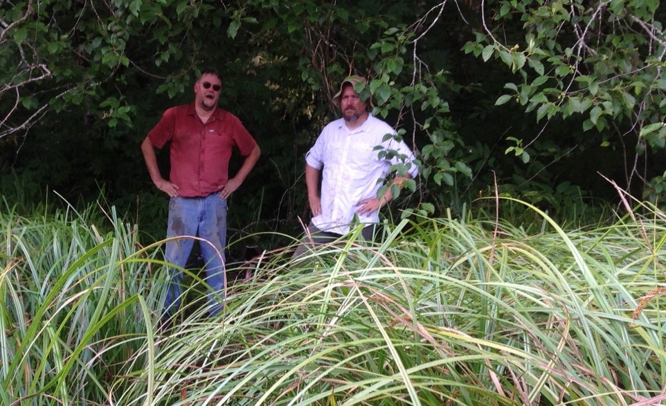
As part of my work at the Oregon Department of Geology and Mineral Industries (DOGAMI), I took part in research aimed at finding prehistoric landslides that dated to the most recent Cascadia earthquake. This was done by using aerial lidar to identify ponds formed in landslide dammed stream valleys, finding tree snags present in the ponds that were killed because of the damming, and then dating the snags using dendrochronology. The project is an on-going multi-year collaboration with the University of Oregon.


Mapping the Port of Portland's Water Wells

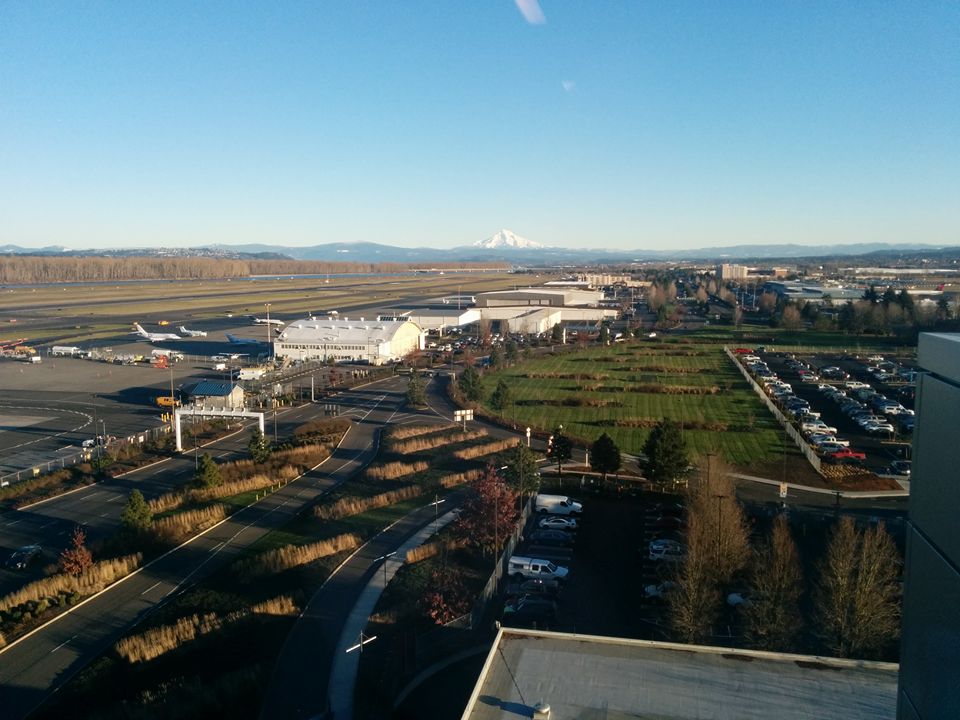
I started at the Port of Portland as an intern and was eventually hired on as a contract employee. While at the Port I gained extensive GIS experience, eventually heading a project to map all the Port's water wells. This required researching the wells, finding and identifying them, collecting geolocation data for them, creating a feature class for the data, integrating that into the Port's enterprise geodatabases, and finally designing and building a web application for internal Port use.


Mapping Landslides on BLM Land

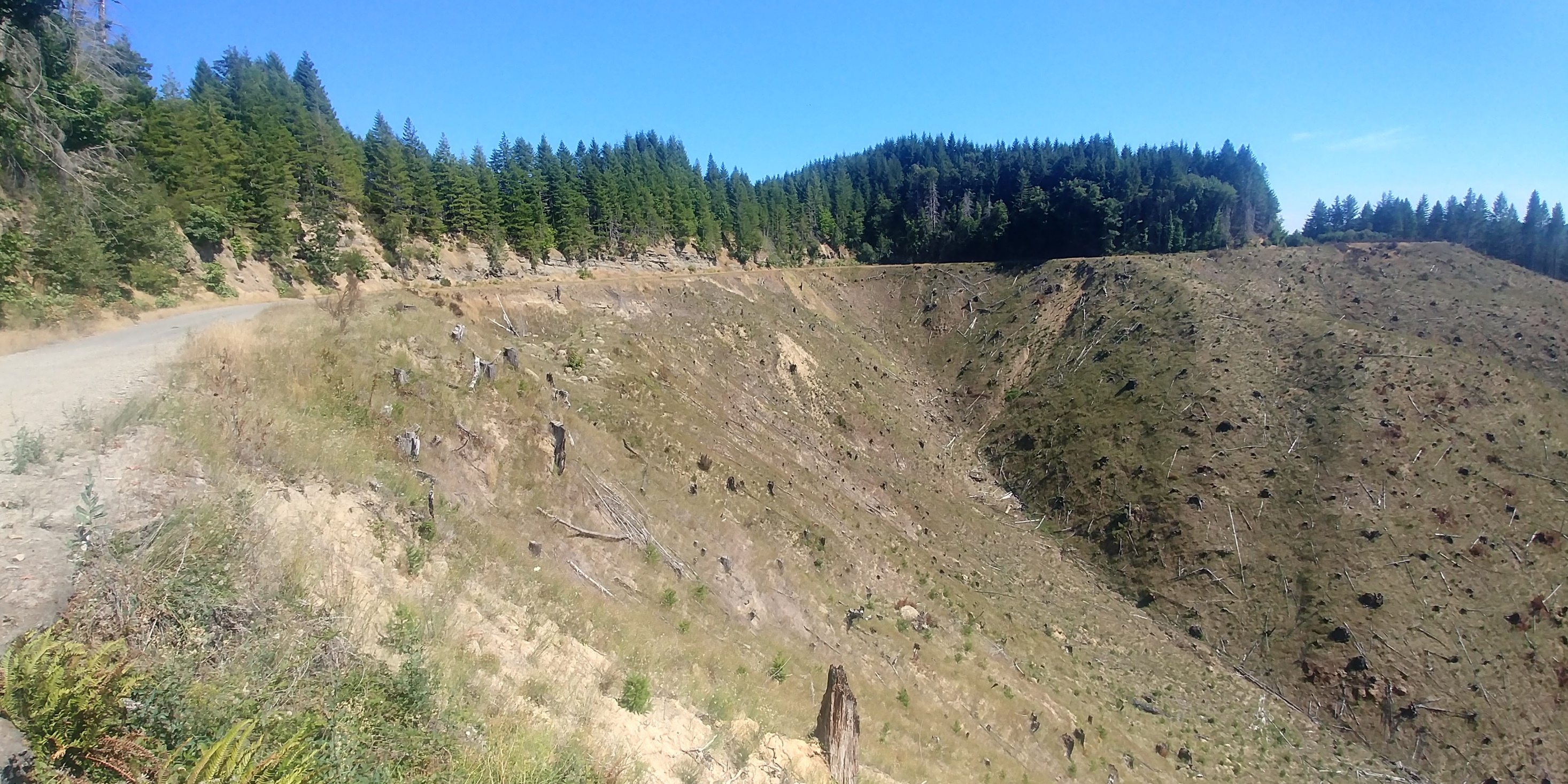
I was hired on at DOGAMI as a student mapper specifically to work on this project. The project is a collaboration between the BLM, DOGAMI, and students from PSU. Primarily it involves mapping landslides on BLM managed land through lidar and aerial imagery. More than that, however, this project is an excellent example of government working in a synergistic, efficient, and beneficial way.


Studying the Chetco-Bar Burn Area

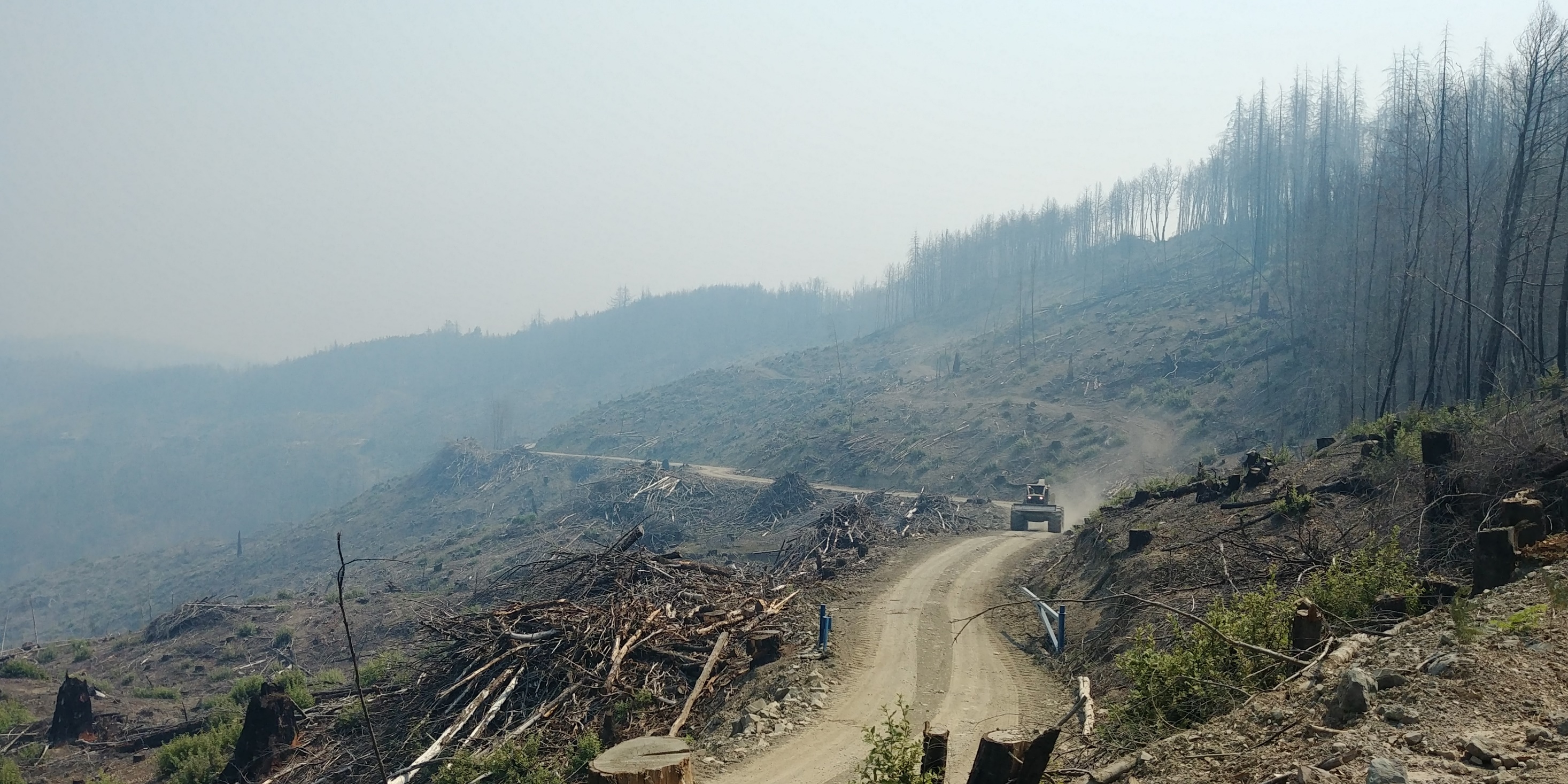
Following the massive Chetco-Bar forest fire in southwestern Oregon, I was tasked with mapping prehistoric landslides within the affected area. This was to help land managers better plan for future slope stability concerns stemming from the fire. This involved mapping according to the DOGAMI SP-42 guidelines. The study area started just east of Brookings, Oregon and covered an area of around 90 square miles and resulted in more than 1000 newly mapped landslides. This was followed by a ground-truthing trip to verify the results. The unique geology of the melange in the area made mapping a difficult, but engaging, project.

I'm Most Excited About What Comes Next

These represent a few of the projects I'm working on in my private time and some of the technologies that I am experimenting with.

UAV Data Collection

I'm a FAA licensed remote pilot and am exploring use cases for drone geodata collection.

Three-Dimensional Modeling

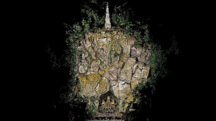
I'm working with various open source workflows to convert 2D aerial images into 3D surficial models.

Sharing Geoscience

I'm putting together a geoscience podcast and exploring rockhounding locations across the state.