Researching and Mapping Water Well Locations

I was initially hired at the Port of Portland as an intern and, once my internship was up, was re-hired as a contractual employee. My position was in the environmental operations department, but in truth I acted as more of a GIS support for environmental ops and spent most of my time assisting the GIS department. This provided me with a fantastic opportunity to participate in many of the projects within the environmental ops section while also learning a great deal about GIS practices, software, and hardware. I worked on many fun and challenging projects while I was at the Port, but by far my proudest work came near the end of my time there when I was tasked with researching, locating, mapping, and creating GIS data for all Port owned water wells.
In the past, water well records had been kept on paper in a collection of binders within environmental ops. The genesis of the project was the realization that as employees retired, much of the institutional knowledge surrounding the well locations and history would be lost. This vital information needed to be made digitally accessible for ease of use and to ensure that no essential data were lost.
I was tasked with going through the well records binders and researching government records to determine which Port owned properties had water wells on them, exactly where on the property these wells were located, and what area the legal "place of use" for each well covered.

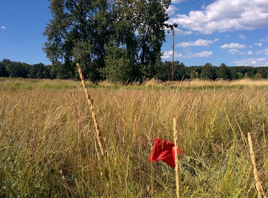
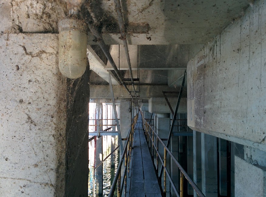
Thankfully I had a surplus of institutional knowledge regarding water well locations and "place of use" descriptions at my disposal. The water well binders provided a good starting point, and wherever questions arose, I could depend on the Oregon Water Resources Department Water Rights Information Query tool to clarify them. Once I had a complete list and location information for all water wells on Port property, I converted that into GIS data. Well locations and attributes were entered into a new point feature class, and "place of use" areas were entered into a new polygon feature class. Attributes were decided upon by holding meetings with Port employees who would be using the data to determine what served their needs best. Once the data was created and the new feature classes were populated, the next step was ground truthing the locations.

Once the well locations were verified and the feature class was edited to reflect the field data, the feature class was added to the enterprise geodatabase during the monthly outage. The well locations and legal place of use for each well was officially made available for use to people in the environmental ops department. In addition to adding the data, I created a web app based on HTML5 and Leaflet to allow quick and easy visualization of the data. This web app was intended for internal port use only. Eventually, the feature class was wrapped into the proprietary Port-wide GIS app that was being developed at the time, and the web app, while fully functional, was no longer needed. In all, it was a project that I was proud of working on, afforded me a great deal of experience, and resulted in a useful product for the people I worked with.
