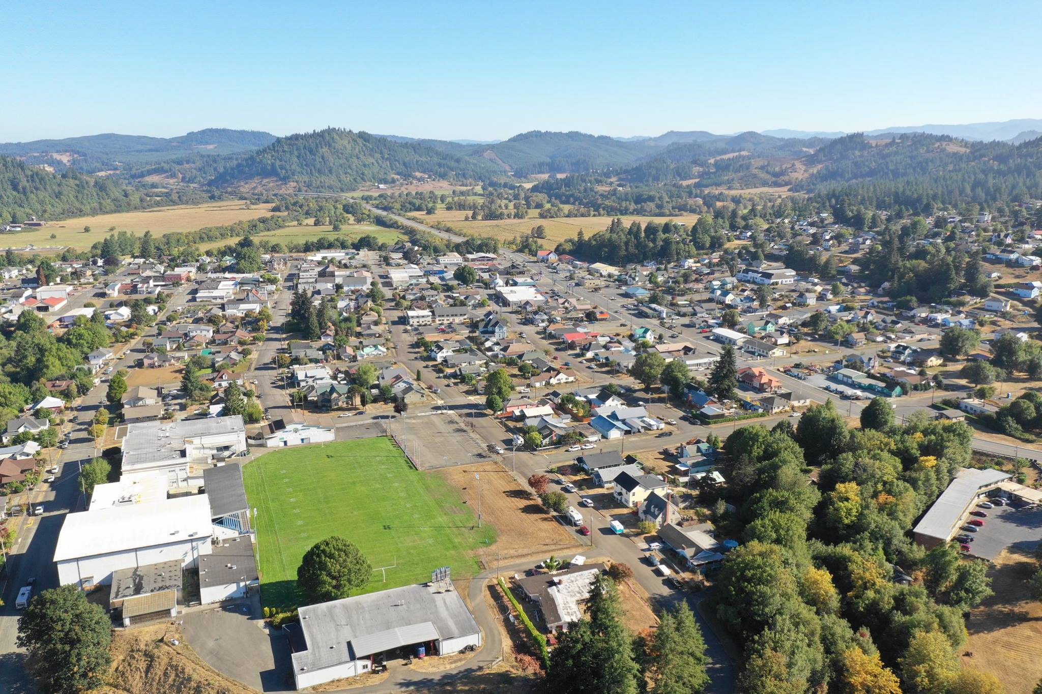
 I was born in Portland, Oregon. I had a nomadic childhood, living in various places around the state and nation, and attending many different schools before adulthood. I began high school while living in Wahiawa, Hawaii and graduated from Myrtle Point High School in Myrtle Point, Oregon.
 After graduating high school, I went to work in the semi-conductor manufacturing industry. I worked for LSI, Logic Inc., in Gresham, Oregon until massive layoffs and instability occurred industry-wide in the 2000's. Following that I worked for a time as a photography instructor for Wolf Camera's Wolf University, teaching adult education classes on topics such as introductory photography, introductory composition, and introductory and advanced digital photography and image editing. This was around the time that digital cameras were just beginning to become mainstream. I also planned and led photography field trips for students.
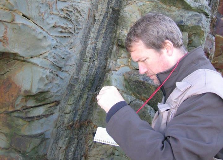
 In 2008, I began college at Southwestern Oregon Community College, eventually transferring to Portland State University. I completed my undergraduate studies at PSU in 2014 with a bachelor's degree in geology and a minor in geologic computer applications. I continued straight on into the PSU geology department master's degree program and completed my thesis, "Using Repeat Terrestrial Laser Scanning and Photogrammetry to Monitor Reactivation of the Silt Creek Landslide in the Western Cascade Mountains, Linn County, Oregon" in 2018.
 During grad school, I began working for the Port of Portland as an intern in the environmental operations department. The position was unique in that it acted as a go-between for the GIS department and the environmental ops department. This provided me with exposure to a great deal of GIS work as well as environmental science work. I was lucky in that position because it allowed me to expand and utilize the education I had received as part of my computer applications minor, and while there I became much more comfortable with HTML and JavaScript coding, GIS field data collection, ESRI products, and a wide variety of other types of software. Aditionally, I gained quite a bit of experience with water quality monitoring, including calculating discharge for MS4 permits, performing illicit discharge monitoring on leased port property, and performing water quality inspections and sample collecting. Once my internship ended in 2016, I was hired on to continue the work I was doing there as a contractor.
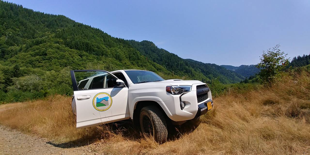
 I left the Port in 2017 for a temporary position with the Oregon Department of Geology and Mineral Industries. This position aligned well with the work that I was doing on my master's thesis at the time. Specifically, my primary project involved identifying and mapping landslides on BLM managed lands in Oregon's Coast Range and in the area effected by the recent Chetco-Bar fire. During my time at DOGAMI, I worked on a variety of projects, including researching and summarizing local and county ordinances pertaining to grading, and landslide hazard and erosion mitigation, testing an automated GIS landslide identification tool, and doing field research to identify Cascadia Earthquake related landslides. When my initial temporary contract period ended at DOGAMI, they extended it for an additional six months. That extension finally ended in September of 2018.
Currently, I am exploring possiblities for the next phase of my career. And I am excited about what my future holds.