Photogrammetry and 3D Modeling

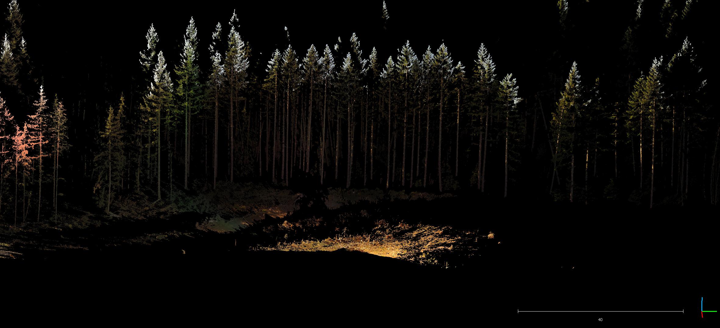
My education included a lot of work with 3D models, lidar, and photogrammetry, but it wasn't until I began my thesis project that I became really familiar with it. I used a terrestrial lidar scanner to collect 3D data of the Silt Creek landside, which I then turned into a point cloud using FARO software and an open source program called CloudCompare. With CloudCompare, it is possible to align models with a very high level of accuracy. This gave the ability to use successive scans of the same slide location to measure displacement down to the centimeter. It was central to the completion of my thesis. In all, I aligned and measured hundreds of landmarks across a total of twenty scans. It was time (and processor-power) consuming project.
While the technology and the method proved to be highly successful, a terrestrial lidar scanner is prohibitively costly for most projects. For this reason, I have been focusing my attention towards using drone collected aerial imagery to create 3D models using photogrammetry (also known as structure from motion). The results have, so far, been encouraging. The largest barriers to using this methodology are the prohibitive cost of professional software and the intense PC processing requirements for model creation and manipulation.

The software first finds identifiable targets within each image and then matches targets between images. Following that, it triangulates the distance from the camera to the object and uses that information to create a three-dimensional relationship between targets in the images. With that information, it can create a 3D model of the entire scene. There's a lot more involved between the collection of the images and the final result, but that is a quick and dirty overview of how the processing works.
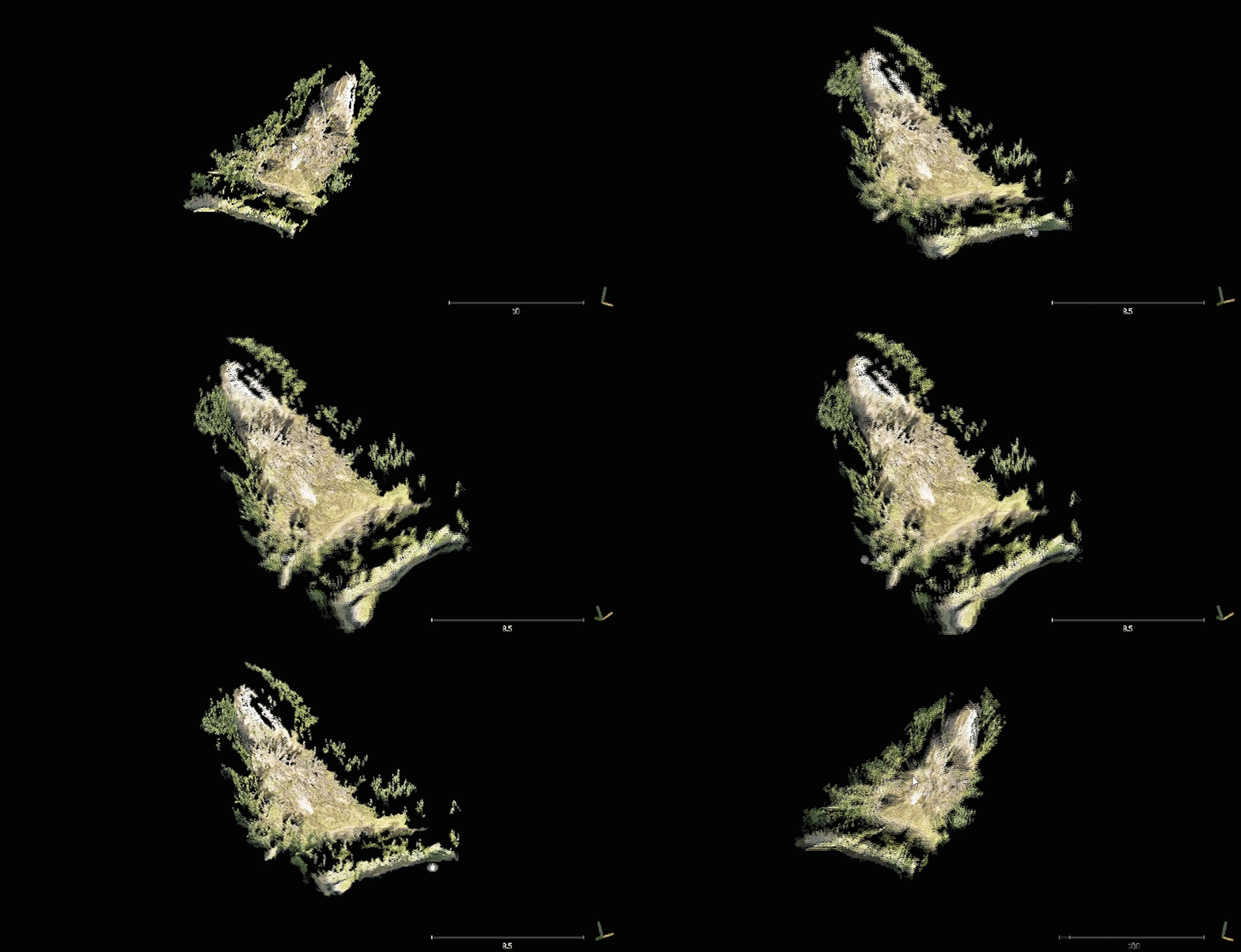
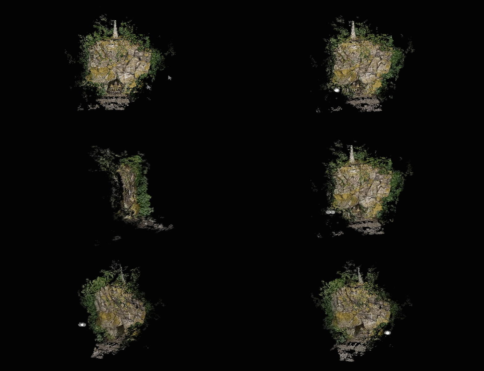
To date, I have collected data at two landslide sites, one cliff face, and several test sites. Each of these have presented different challenges in logistics and processing. However, the results have been amazing. Each time I process a batch of images through the software that generates these models, it feels a bit like magic when I see the results.

My next step will be conducting repeat data collections and aligning the models to monitor changes, similar to the work I did with the terrestrial lidar scans in my thesis project. I have no doubt that this workflow will eventually prove incredibly useful. When the low cost, quick and easy deployment, and fast turn-around time are taken into consideration, drone collected aerial image photogrammetry will provide an invaluable tool for applied geology.
If you'd like to take a look at some of the models I've generated, feel free to download them from below. There's a landslide-deformed gravel road from my thesis site, the Old 77 Vesper landslide, and the Grotto cliff face in Portland, Oregon. Note: these require software such as CloudCompare to view. Be sure to turn off "normals" for best model viewing quality.