The Silt Creek Landslide

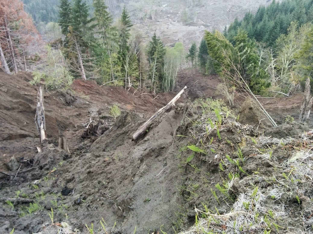
In June of 2014, a landslide complex in the rural forestland near Mill City, Oregon, reactivated following an internal scarp failure. The internal scarp failure occurred at roughly the same time as another, similar sized failure at the head scarp. This provided the opportunity to study the reactivation and potentially gain insight into the mechanics of the slide and potential relationship between the internal scarp failure and the reactivation.
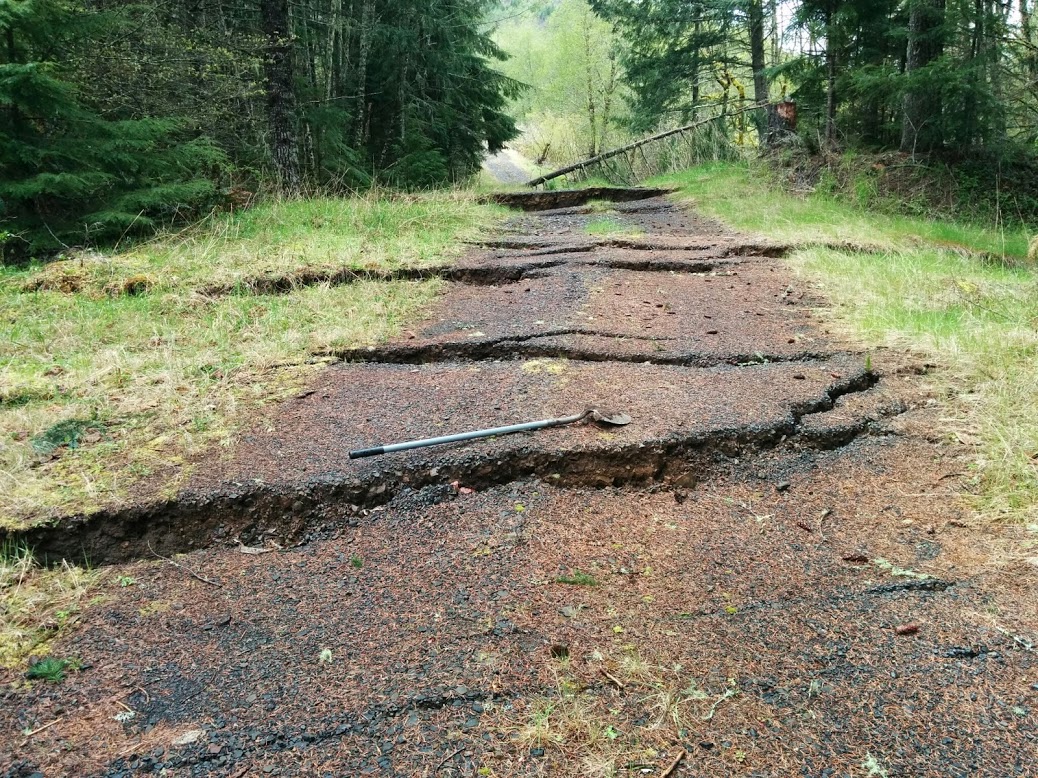
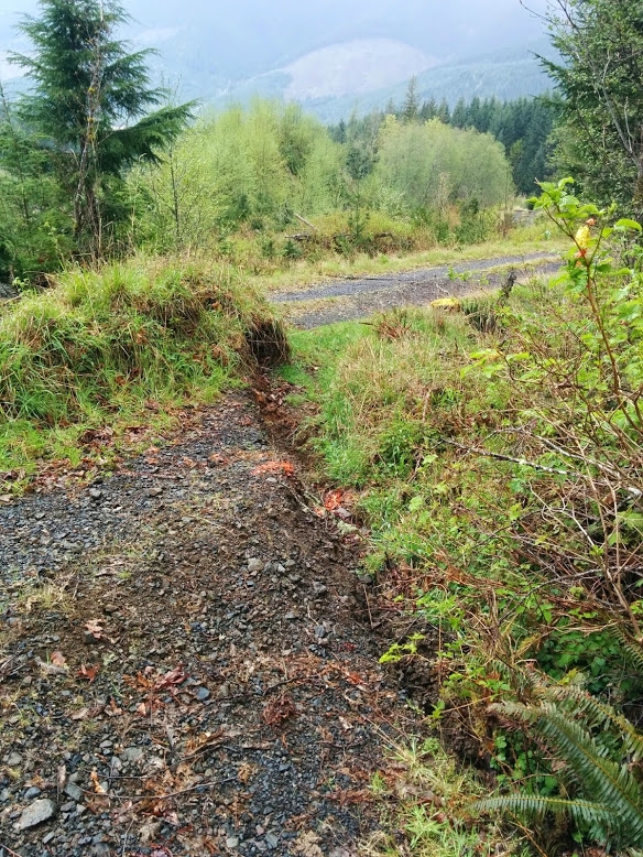
The slide is around four kilometers from tip to toe. The debris run-out area, which is the area that was inundated by debris when the internal scarp failed, is about 400 meters long. The average depth of the debris there was found to be around eight meters. Further down the slope, the slide manifests as an earthflow that reactivated shortly after the failure. Specifically, a gravel road that crosses the midsection of the slide underwent extensive measurable deformation following the internal scarp failure.

The slide was alternately clear cut and forested. At the toe of the slide there is a mainline gravel road and small bridge which are heavily utilized for forestry purposes, and there were concerns that deformation of this infrastructure due to slide activity may force relocation of them. The bridge spanned Silt Creek, which also forms the eastern margin on the slide, and had rotated by several centimeters following the reactivation.

The purpose of this project was to monitor the slide reactivation and quantify it. This was done with terrestrial lidar scanning, which is similar to aerial lidar scanning but uses a ground-based tripod mounted scanner and scans the surface laterally instead of from the air. Scans were conducted at three-month intervals over the course of one year and at six locations along the eastern margin of the slide. The scans were then entered into open source point cloud software where stable surface features were selected and tracked in each of the successive scans. In this way it was possible to build a displacement vector map of the landslide deformation over the one year that it was studied.

It was found that the slide was moving at a maximum rate of one meter per year during the study period, and that displacement in each successive scan diminished, thereby showing that the slide was returning to a state of stability. Displacement rates were higher in the upper portions of the slide and decreased approaching the toe. During the final scan, there was zero measureable displacement along much on the slide, which suggests that it had ceased reactivation and returned to a state of stability at that point.

Additionally, this study looked at historical imagery and aerial lidar from prior to the slope failure and compared it to lidar collected following the failure to determine how much displacement occurred immediately after the internal scarp failure but before to the beginning of the terrestrial lidar scanning. It was found that the landslide underwent a much higher amount of displacement immediately following the internal scarp failure than it did during the study. Measured displacement rates were as high as seven meters per year. This showed that the majority of the displacement occurred in the months immediately following the internal scarp failure and provided further evidence that the displacement was decreasing over time as the slide returned to stability.
Interestingly, it was also found that precipitation rates, collected on site and gathered from a nearby SNOTEL site, were not well correlated with displacement rates on the slide, suggesting that they were decoupled. The study concluded that applied load from the debris stemming from the internal scarp failure was the primary cause of the reactivation, and that as the slide adjusted to the load, it returned to a state of stability.
For more detailed information about the project, read the thesis that is linked below. All in all, the project was a fascinating one to work on, and the landslide site that I studied was really a spectacular specimen for a masters student to study.